English Below
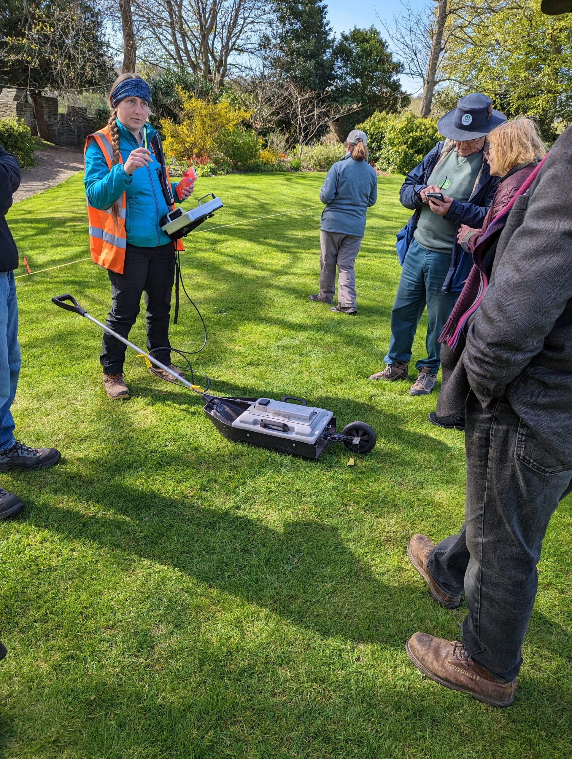
Rai wythnosau yn ôl fe wnaethom gynnal Arolwg Geoffisegol o’r Castell gan ddefnyddio technegau Radar Treiddio Tir a Gwrthiant Trydanol gyda TigerGeo Limited er mwyn dysgu mwy am yr hyn sy’n weddill o’r safle hwn oedd o dan yr wyneb. Gyda chymorth criw anhygoel o wirfoddolwyr, treuliodd y tîm tair diwrnod yn arolygu gwahanol rannau o’r safle yn chwilio am gliwiau i ateb hen cwestiynau amdano y Castell Cymreig diddorol hwn. Ble yn union oedd y Porthdy? Beth oedd lefel y tir canoloesol? Ble oedd ffos y Castell? Ond, yn fwyaf, ble yn union oedd Neuadd Fawr yr Arglwydd Rhys, lleoliad Eisteddfod gyntaf Cymru?!
Wrth i’r canlyniadau ddod yn ôl fe gawn weld pa rai o’r cwestiynau hyn y gellir eu hateb yn awr a’r hyn sy’n parhau i fod yn ddirgelwch wrth i’n hanesydd gwirfoddol preswyl, Glen K Johnson, gyflwyno canlyniadau’r darn diweddaraf hwn o waith archaeolegol ochr yn ochr â chanlyniadau cloddiadau eraill a gynhaliwyd dros yr ddegawdau diwethaf.
Some weeks ago we conducted a Geophysical Survey of the Castle using Ground Penetrating Radar and Electrical Resistivity with TigerGeo Limited in order to learn more about what remains of this site lay beneath the surface. Ably assisted by an amazing group of volunteers, the team spent three days surveying different parts of the site searching for clues to answers questions that have lingered over this intriguing Welsh Castle. Where exactly was the Gatehouse? What was the medieval ground level? Where was the Castle’s ditch? Perhaps most pressing, where exactly was the Lord Rhys’ Great Hall, the venue for Wales’ first ever Eisteddfod?!
As the results come back in we’ll see which of these questions can now be answered and what remains a mystery as our resident volunteer historian, Glen K Johnson, presents the results of this latest bit of archaeological work alongside the results from other digs and studies carried out over the last few decades.


